top of page


QGIS is the best GIS tool in the free and open-source software (FOSS) community.
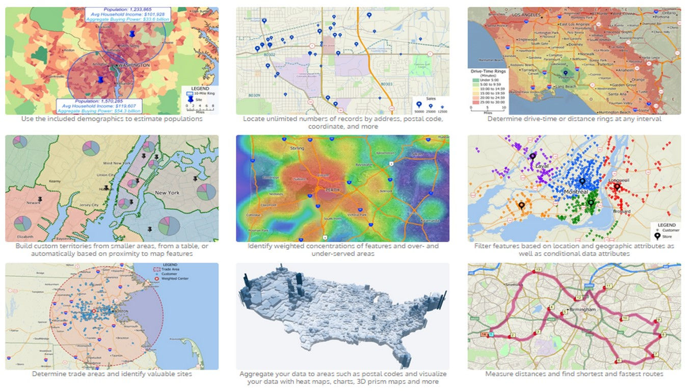
QGIS provides a continously growing number of capabilities provided by core functions and plugins. We can visualize, manage, edit, analyse data, and compose printable maps.
I created a map of a running track for a distance of 5 km and 20 km by using QGIS software. My area is located in Bishkek, Kyrgyzstan. To create a map, I used a lot of tools and software features such as grid, classification, presentation map, vectorization, coordinate system, additional modules - OpeenStreetMap.

QGIS - The Leading Open Source Desktop GIS

bottom of page